| Author | Message | ||
Court |
I need to get on with my life and I'm heading to a point that was given to me in Longitude and Latitude . . . .like to 7 digits . . QUESTION: Are there any of the snappy, like the Garmin Colorado, that I could program very detailed coordinates in and get to that place? | ||
Reepicheep |
Via road? Via off road? Or both? | ||
Pwnzor |
All my GPS units allow input by coordinates. With standard highway maps loaded, they will get you as close as possible by roads, and then point in the direction of the location when you run out of roads. | ||
Froggy |
Your Zumo will let you navigate to coordinates like Pwnzor says. The Colorado you mentioned is designed specifically for hiking use and will work better than the Zumo in that regards. | ||
Froggy |
Looking at Garmin's website, I don't see the Colorado anymore, I'm not really up to date on their hiking units, and they got a buttload of them. Time to start researching  | ||
Reepicheep |
Different people are different, but I don't really need or want a "powerful" GPS unit. Even the biggest and best are too small and constrained for me to use to properly plan a trip, so I plan all the routes at my desk before I leave, and just upload all the relevant waypoints and specific planned routes into a routable GPS (I have a Zumo now, but I'm not sure I like it better than my Quest). It takes some serious time, one to two hours for a day of riding. But I really do plan it down to every last turn and plot it across every godforsaken goat trail I can find. You can string together a bunch of non connected back roads with a bunch of non obvious turns and easily put together an epic 100 mile ride even in your own area. For changes, I also sometimes just pack along a laptop. It works, but it is also a bit tight for real trip planning. The mobile phone GPS apps aren't *quite* there yet but they are getting *very* close. The only areas where they are not superior to dedicated units like the Zumo is in the ability to plan turn by turn directions, battery life, and durability. Those last two issues can probably be easily addressed with a $10 external power bank and waterproof otterbox or pouch. For turn by turn routing control, we are at the mercy of the people writing the apps. Google is getting VERY close, and if they integrated that ability along with the road informatino Waze provides, they would have an epic nagivation solution. | ||
Court |
This would be for directing my 2 helicopters to tower locations. I've pulled coordinates off geodesic maps and built them into a large comprehensive excel spreadsheet that tracks essentially everything I know about a location from BOM to timber rattlers, bog turtles, Indiana bats and unanticipated human remains. I think I've got it fairly well covered but want to double check and confirm my LZ coordinates and elevations. | ||
Reepicheep |
Well, perhaps with a better list of timber rattler locations, you will have fewer unanticipated human remains. Any hand held GPS that is supported by a RAM mount would probably work. I spent 2 minutes looking, and I think I would pick this one: http://www.amazon.com/dp/B002G1YPIE/ref=psdc_89161 79011_t2_B00542NV32 Mainly because it is a daylight readable screen, touchscreen (for easier coordinate entry) and 20 hour battery life. One credible review of lousy reliability that gives me pause though. The Etrex legend looks decent, but I bet it's a PITA to peck in coordinates. So once again, here I sit, seeing a boatload of Garmin products that have the pieces necessary to be somethign great, but that are all ruined by some kind of stupid limitation or flaw (only 8 megs of ram? In this day and age? Are you kidding me!?!?!). Sigh. | ||
Hootowl |
Is timber rattler slang for lumberjack? | ||
Court |
>>>Is timber rattler slang for lumberjack? Yeah. . yeah . . that's it. I spend my days wearing snake chaps. But . . it I am attacked by a Lumberjack . . I should be fine. Most the Timber Rattlers are wimps and docile . . we had a couple last season that were ranked ,by my star Ecologist, as "aggressive". I have a standing rule to cease standing when an aggressive rattler appears. I love my work. :-)       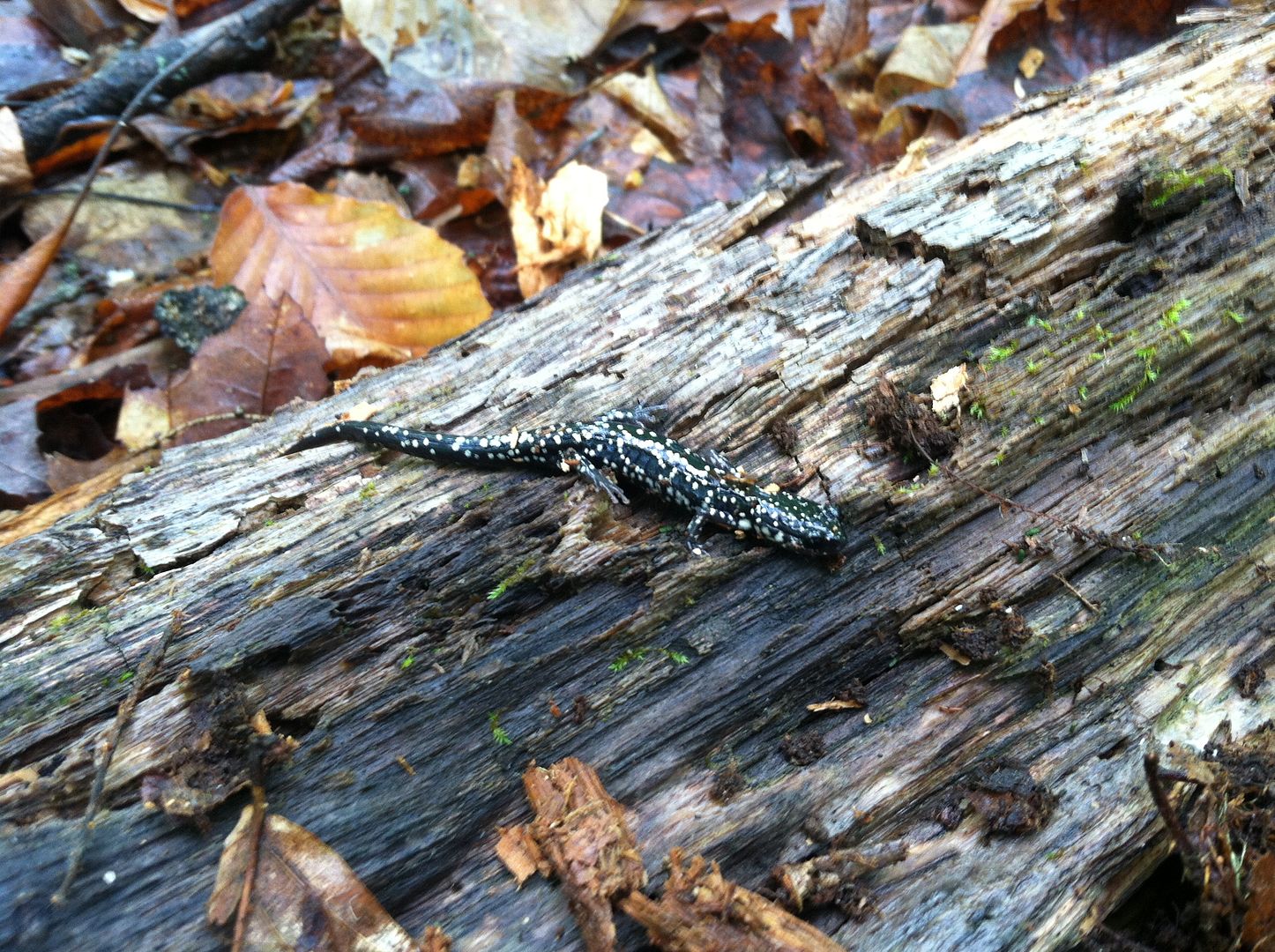  I'm roaming the Hills of the Hudson Valley with my tree crew today . . . and it's gorgeous here. Thanks for the GPS tips . . .it's ordered. | ||
86129squids |
Court, thanks to you for the critter pics! My GF would be creeped OUT, she has a hella-strong phobia against creepie-crawlies. Had to DRAG her past an exhibit at the Chattanooga Aquarium recently, had a small snake all curled up in its corner, behind glass... That's one of the purtiest turtles I've seen. Gotta wonder about the spots... evolution has all sorts of riddles. | ||
Ourdee |
I used E-trex when Geocaching. I was very happy with it. It does require pecking like texting on an old phone. | ||
Iamike |
The hiking ones are great for 'as the crow flies' because they have a direction arrow and distance to end indication. I like the monochrome screens since they are easier to see and the batteries last longer. | ||
Bob_thompson |
My 20 Y.O. Garmin E-trex gets me to within 20-50 feet when I program in degrees, minutes & seconds. I carry an extra battery when treking about, usually hunting these Utah Mts., and way points can be fairly easily programmed in BUT. It is a line of sight type of unit and large obstacles, such as lakes do pose a problem. There is no mapping but I never failed to get back to the truck after a days outing. Question, thinking about upgrading so are there any units with enough memory to have detailed maps like Lakemaster maps have for us fishermen on our sonar units? The Gamin automobile GPS unit I have is very detailed also until you go off road. Only a very few major gravel roads are programmed in but it has a large memory with most all businesses, and terrain, rivers, lakes, mts. etc. is programmed in. It also has highway const. delays and detours also. So is there one unit that would do both? On and off road. I would be fine if I had to buy insert chips for specific areas just as my sonar has for specific lake areas. Until then I will continue to use my automobile unit so far & then switch to the E-tex to go off road. Not real hard to do just a pain when hitting an obstacle that was unseen. | ||
Biffdotorg |
Court: "This would be for directing my 2 helicopters to tower locations. I've pulled coordinates off geodesic maps and built them into a large comprehensive excel spreadsheet that tracks essentially everything I know about a location from BOM to timber rattlers, bog turtles, Indiana bats and unanticipated human remains. I think I've got it fairly well covered but want to double check and confirm my LZ coordinates and elevations." Court, I would be interested in seeing you start a thread in the Quick Board about your copter adventures. I have been a long time video addict at the hobbyist level with some of the first lipstick cams/camcorders all the way up to current HD cams and now GoPros. My wife and daughter gave me an early Birthday, Father's day, Xmas gift this week of a shiny new DJI Phantom 2 with upgraded remote, Zenmuse Gimbal for my GoPro, and FPV setup with 7" LCD. I'm jacked to get going with it. Of course I am flying without any of the expensive equipment installed knowing I have a few crashes in me before getting better. So without further hijacking this thread, I will look forward to a potential Quadcopter/Octocopter/Multirotor thread with more details. | ||
Court |
https://www.youtube.com/watch?v=PyCWIFL30mU https://www.youtube.com/watch?v=M9HqvcT0NAQ | ||
Reepicheep |
Cool! | ||
Ourdee |
Court, I operate a crane making 50 ton picks and sets with a radio control box attached to me. May I have a go at that sky-crane? How much does one of the towers weigh? Nice videos. | ||
Thumper1203 |
Heck yeah, cool vids Court!.. the upper Columbia river gorge is one of my favorite "get away from the coastal (home town) summer tourists" riding area. I always wondered how those behemoth structures carrying the high tension leads from Mcnary and the others were assembled.. | ||
Court |
Just to be clear . . . . those jobs are just marketing videos and not the job I am on now. We will, however, be using those, as many other similar, techniques. I had my first meeting with the contractor today and one of the things I am pushing for is splicing and doing the x-rays from a helicopter. We are down to selecting "long line" (the dangle from a line or "side board" (sitting on a platform on the side of the help) techniques. I prefer long line to buy me some rotor room. |